Precision 3D Mapping and Photogrammetry for Real Estate and Property Development
Transform your properties with our advanced 3D mapping and photogrammetry service. Ideal for real estate and property developers, our precise digital models provide unparalleled insights, enhancing project planning and creating visually immersive experiences for potential buyers.
3D Photogrammetry
We create photographic 3D models and point clouds of existing structures and land infrastructure assets by means of photogrammetry. 3D photogrammetry can be a valuable tool for property developers, providing non-contact technology, high levels of precision and accuracy, realistic 3D models, speed and accuracy, and remote exploration.
3D Scanning
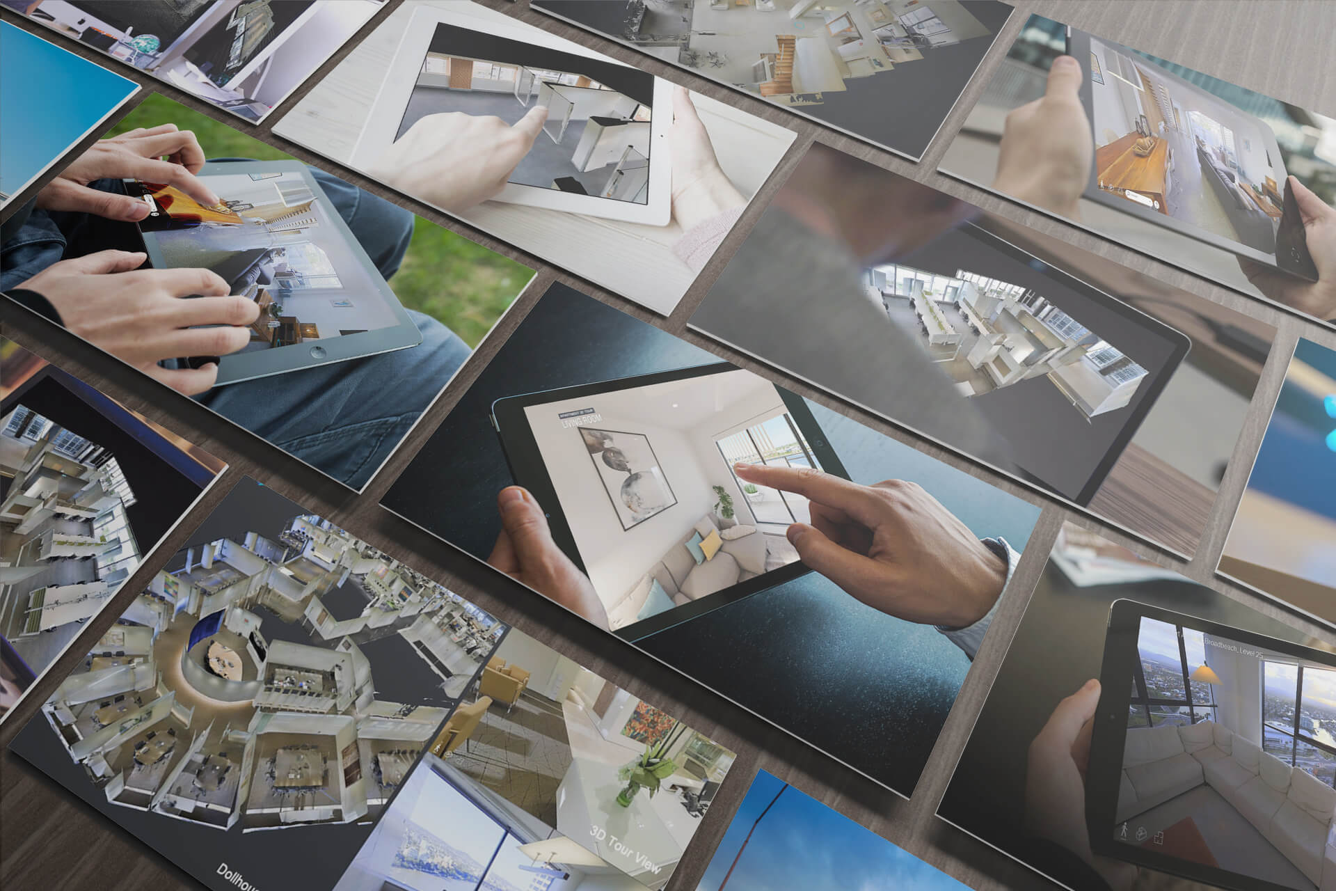
We capture all your spaces into interactive virtual tours and high-density point clouds 3D models that can remove the need for manual measuring and expedite the creation of as-built models, generating high-density point clouds and LOD 200 BIM Files.

Want More Information? Contact Us