What is Drone Aerial Orthomosaic Mapping Photography?
April 27, 2024 - 7 minutes readDrone aerial orthomosaic mapping photography is a cutting-edge technology revolutionizing various industries, from property development, urban planning to agriculture. Utilizing drones equipped with high-resolution cameras, this technique captures detailed aerial imagery of large areas, which is then processed to create accurate maps known as orthomosaics.
Introduction to Drone Aerial Orthomosaic Mapping Photography
In recent years, the use of drones has become increasingly prevalent across different sectors. One of the most significant applications of drone technology is in aerial photography, particularly in orthomosaic mapping. This innovative approach offers numerous benefits, including enhanced efficiency, cost-effectiveness, and unparalleled accuracy in surveying and mapping landscapes.
Understanding Orthomosaic Mapping
Definition
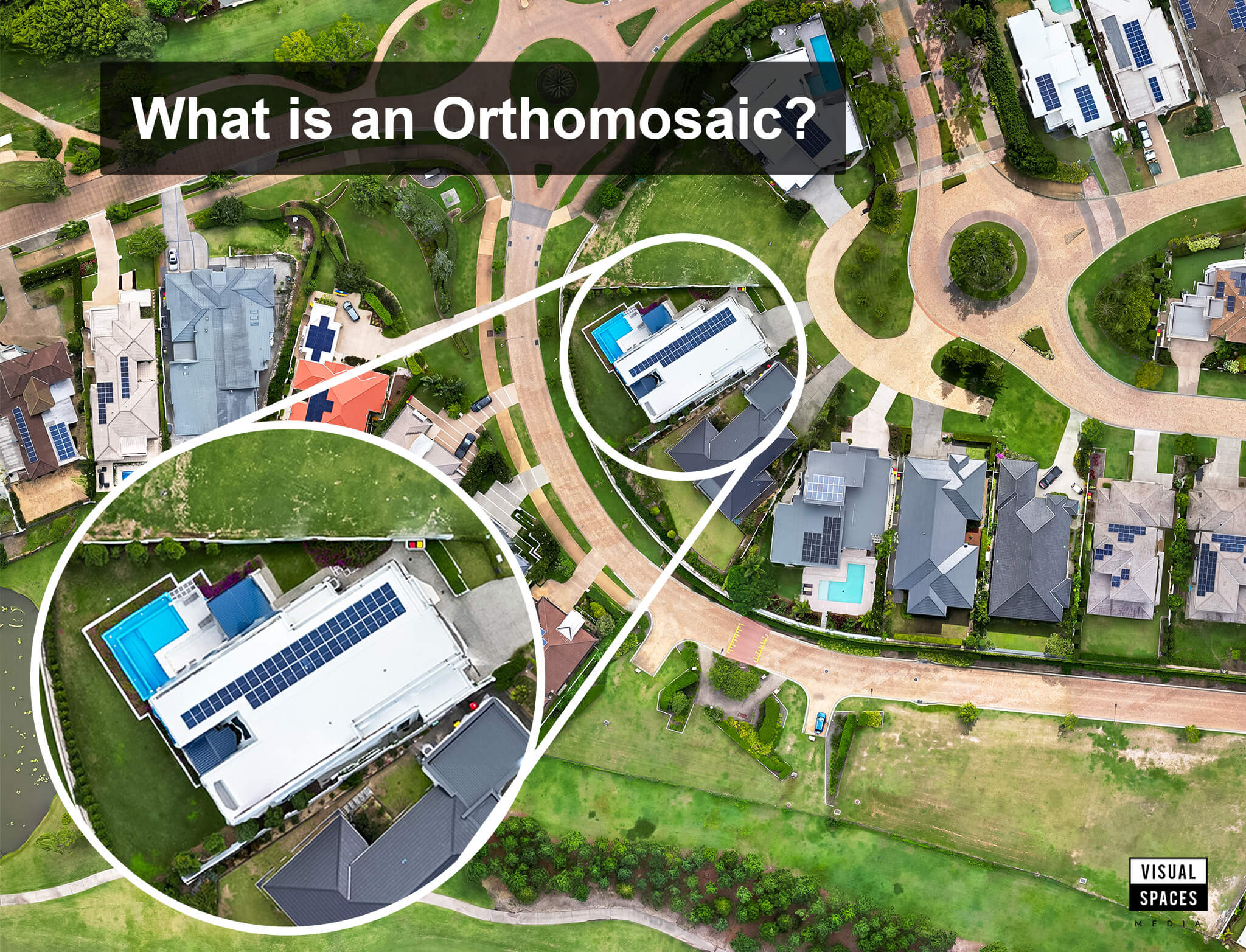
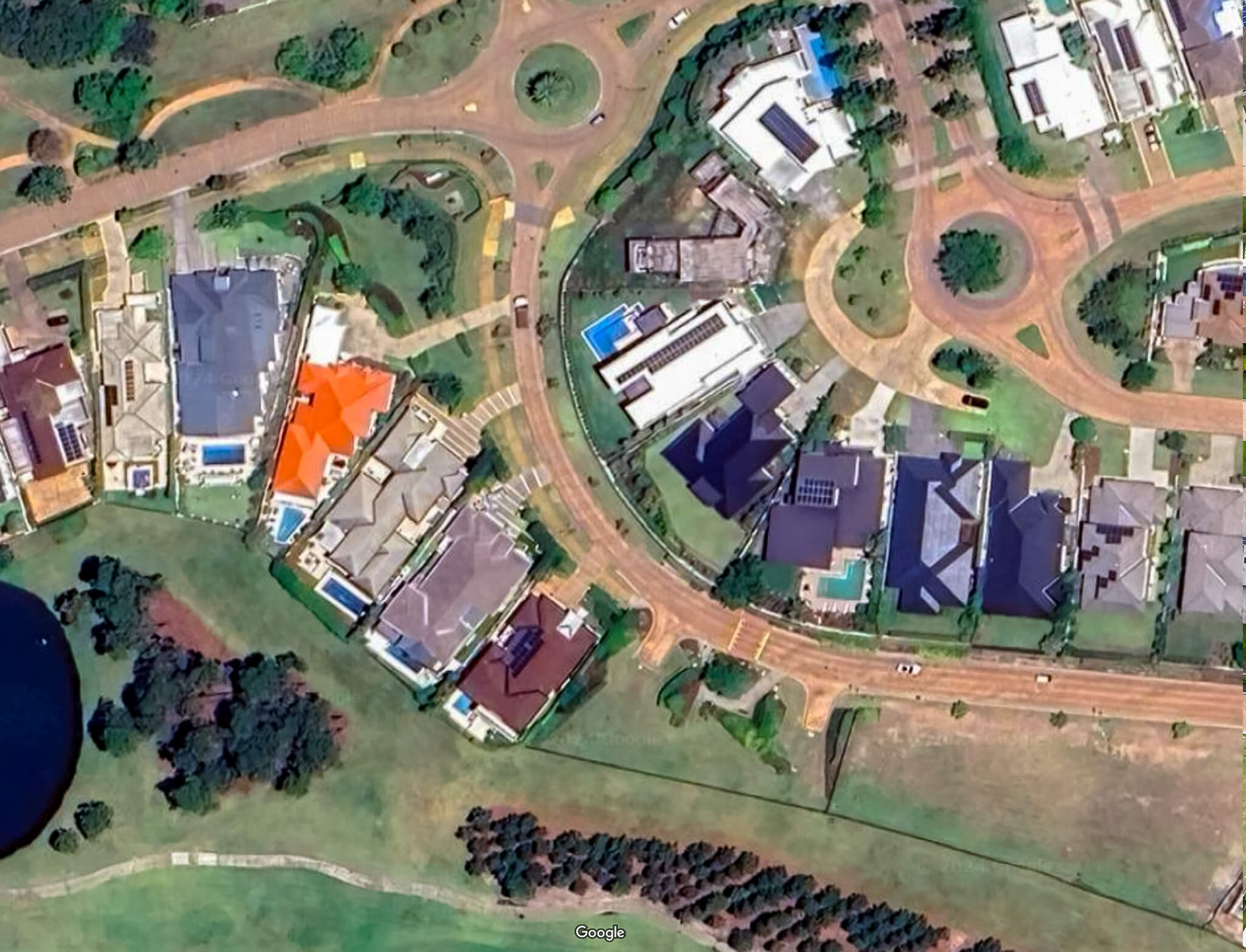
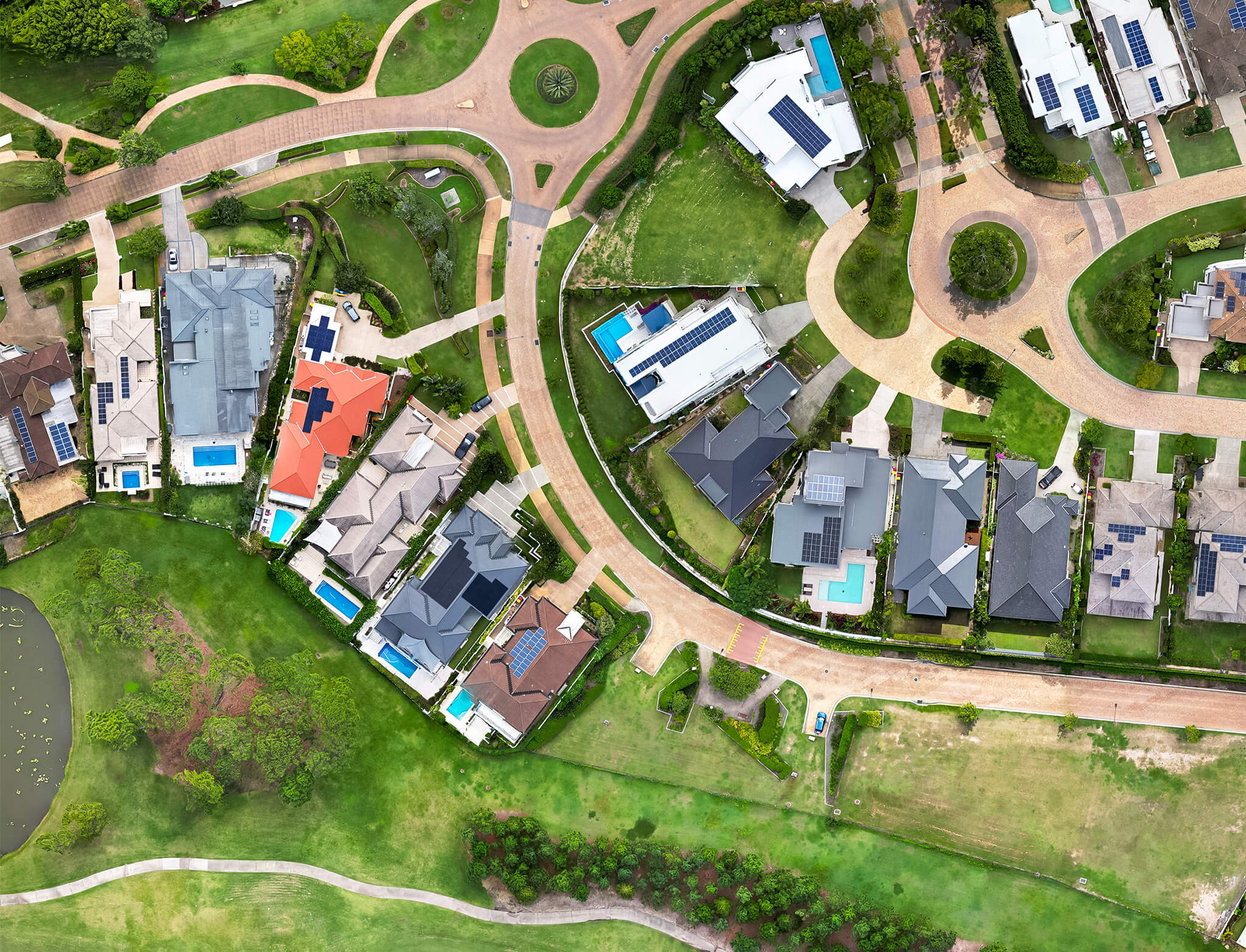
Orthomosaic mapping involves stitching together numerous aerial photographs to create a single, seamless image of the surveyed area. Unlike traditional aerial photography, which may suffer from distortions due to terrain variations and camera angles, orthomosaic maps offer a geometrically corrected representation of the landscape.
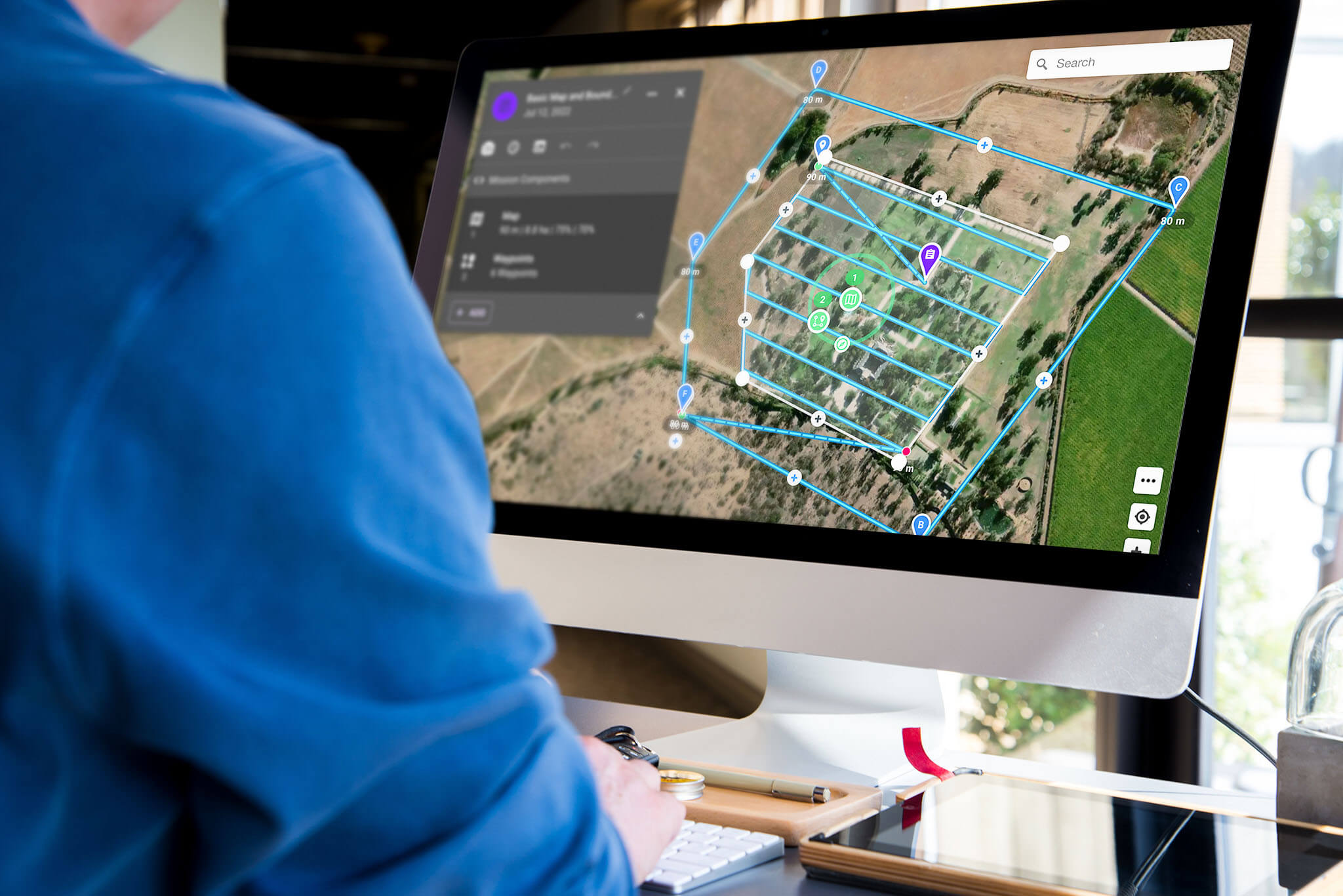
Process
The process begins with the deployment of drones equipped with high-resolution cameras. These drones capture overlapping images of the target area from different angles and altitudes. The captured images are then processed using specialized software, which stitches them together and corrects for distortions, resulting in a precise, orthorectified map.
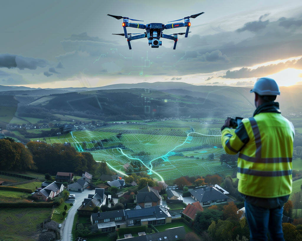
The Role of Drones in Aerial Photography
Drones play a pivotal role in the field of aerial photography, particularly in orthomosaic mapping. Their agility, versatility, and ability to access hard-to-reach areas make them indispensable tools for capturing high-quality aerial imagery.
Advantages of Drones
- Flexibility: Drones can navigate through various terrains and altitudes, allowing for comprehensive coverage of the survey area.
- Cost-effectiveness: Compared to traditional aerial surveying methods, drones offer significant cost savings, as they require fewer resources and personnel.
- Safety: By eliminating the need for manned flights, drones mitigate the risks associated with aerial photography, particularly in hazardous or remote environments.
Types of Drones Used
Several types of drones are utilized in aerial photography, each tailored to specific applications and requirements. Fixed-wing drones excel in covering large areas efficiently, while multirotor drones offer greater maneuverability and stability in confined spaces.
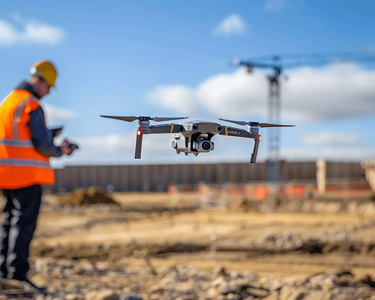
Construction Applications of Orthomosaic Mapping Photography
Orthomosaic mapping photography finds applications across a wide range of industries, revolutionizing traditional methods of surveying and mapping.
In the construction industry, orthomosaic maps are invaluable for site planning, progress monitoring, and asset management. By providing accurate and up-to-date information about the construction site, drones enable project managers to identify potential issues, streamline workflows, and ensure compliance with safety regulations.
Benefits of Drone Aerial Orthomosaic Mapping Photography
Accuracy
Orthomosaic maps offer unparalleled accuracy and detail, allowing for precise measurements and analysis of the surveyed area. By eliminating distortions and errors inherent in traditional aerial photography, drones ensure reliable data for decision-making and planning purposes.
Efficiency
Drone aerial orthomosaic mapping photography significantly reduces the time and resources required for surveying and mapping tasks. With drones capable of covering large areas quickly and autonomously, organizations can streamline their operations and expedite project timelines.
Cost-effectiveness
By optimizing resource allocation and minimizing manual labor, drone aerial orthomosaic mapping photography offers substantial cost savings compared to traditional surveying methods. The ability to collect and process data rapidly reduces project expenses while improving overall efficiency and productivity.
Challenges and Limitations
Despite its numerous benefits, drone aerial orthomosaic mapping photography faces several challenges and limitations that need to be addressed.
Weather conditions
Adverse weather conditions, such as high winds, precipitation, and low visibility, can hamper drone operations and affect the quality of aerial imagery. To mitigate these challenges, drone operators must carefully plan missions and prioritize safety considerations.
Technical issues
Technical issues, such as equipment malfunctions and software errors, can disrupt drone operations and compromise data quality. Regular maintenance, equipment testing, and software updates are essential to ensure smooth and reliable performance.
Regulatory constraints
Regulatory constraints, including airspace restrictions and privacy regulations, pose challenges to the widespread adoption of drone technology. Compliance with regulatory requirements is essential to avoid legal issues and ensure the responsible use of drones in aerial photography.
Future Trends
Despite the challenges, the future of drone aerial orthomosaic mapping photography looks promising, with several trends shaping the evolution of the technology.
Technological advancements
Advancements in drone technology, such as improved sensors, longer flight times, and enhanced data processing capabilities, will further enhance the accuracy and efficiency of orthomosaic mapping photography.
Integration with AI and machine learning
The integration of artificial intelligence and machine learning algorithms will enable drones to autonomously analyze aerial imagery, identify objects of interest, and generate actionable insights, revolutionizing the way we collect and interpret spatial data.
Conclusion
Drone aerial orthomosaic mapping photography represents a paradigm shift in aerial photography, offering unprecedented accuracy, efficiency, and cost-effectiveness in surveying and mapping applications. Despite the challenges and limitations, ongoing technological advancements and innovation promise to unlock new possibilities and expand the scope of this transformative technology.
FAQs
- How accurate are orthomosaic maps? Orthomosaic maps are highly accurate, with centimeter-level precision achievable under optimal conditions.
- What are the main advantages of using drones for aerial photography? The main advantages of using drones for aerial photography include flexibility, cost-effectiveness, and safety.
- What industries can benefit from drone aerial orthomosaic mapping photography? Industries such as agriculture, construction, environmental monitoring, and archaeology can benefit from drone aerial orthomosaic mapping photography