
Posts In:
Aerial Mapping and 3D Photogrammetry
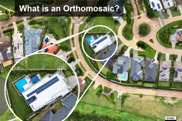
What is Drone Aerial Orthomosaic Mapping Photography?
Published on April 27, 2024Drone aerial orthomosaic mapping photography is a cutting-edge technology revolutionizing various industries, from property development,…
Read More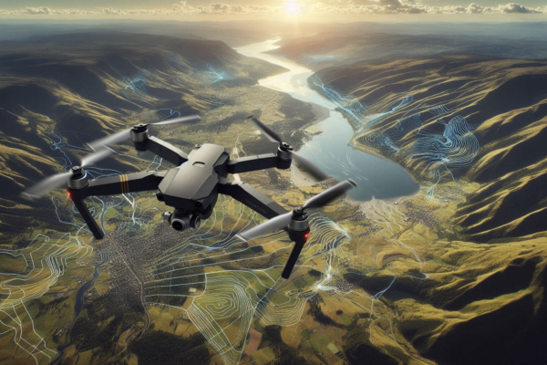
Advantages of Drone Aerial Mapping vs Aircraft and Satellite Mapping for Property Development
Published on April 25, 2024In the modern era of property development, the utilization of innovative technologies such as drone…
Read More