Advantages of Drone Aerial Mapping vs Aircraft and Satellite Mapping for Property Development
April 25, 2024 - 7 minutes readIn the modern era of property development, the utilization of innovative technologies such as drone aerial mapping has significantly transformed the landscape of how projects are planned, monitored, and executed. Unlike traditional methods like aircraft and satellite mapping, drone aerial mapping offers a plethora of advantages that have revolutionized the industry. This article will delve into the specifics of why drone aerial mapping is superior to aircraft and satellite mapping for property development.
Drone Aerial Mapping vs. Aircraft and Satellite Mapping
Cost-Effectiveness
Drone aerial mapping stands out as a cost-effective solution compared to aircraft and satellite mapping. The significant expense associated with aircraft and satellite mapping often makes it unattainable for smaller development projects. Drones, on the other hand, offer an affordable alternative, reducing costs without compromising the quality and accuracy of the data collected.
Flexibility and Accessibility
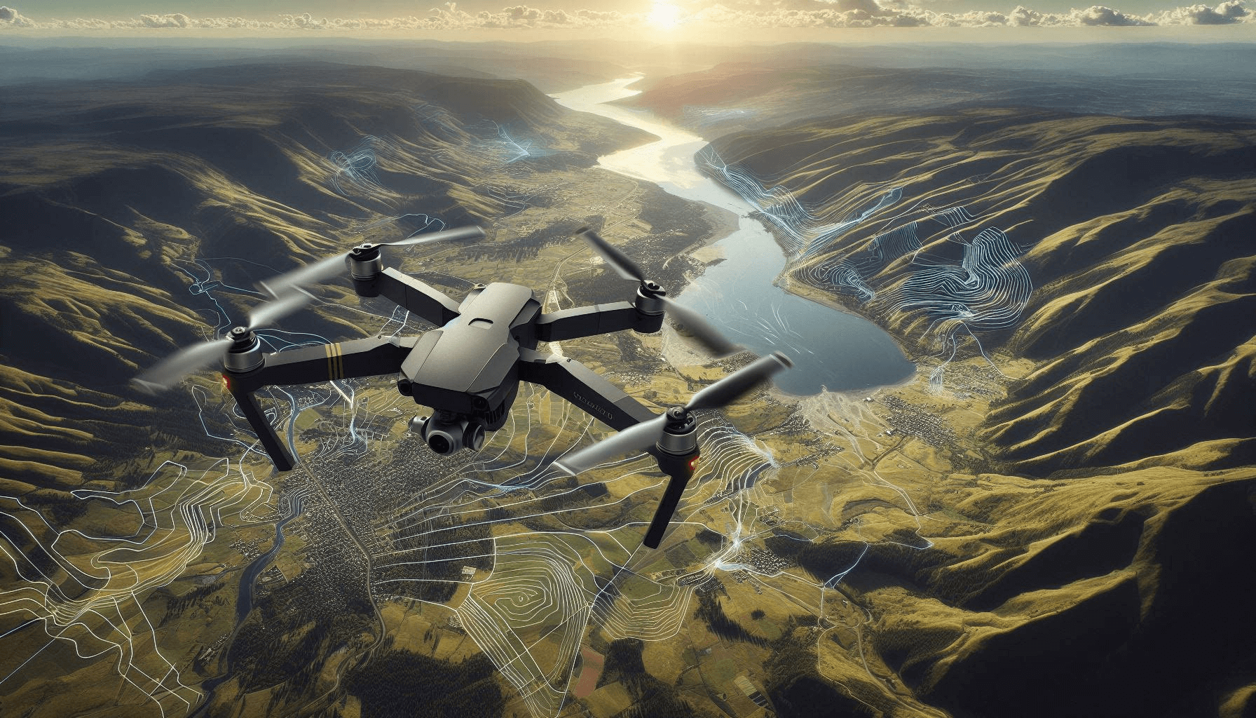
One of the prominent advantages of drone aerial mapping is its flexibility and accessibility. Drones can easily navigate and collect data from challenging terrains, providing a level of accessibility that traditional aircraft and satellite mapping cannot achieve. This flexibility allows for more precise and comprehensive data collection, which is crucial in property development projects.
Precision and Detail
Drone aerial mapping offers unparalleled precision and detail. Compared to satellite mapping, drones can capture images and data from much closer proximity, resulting in higher-resolution imaging. This level of detail is invaluable in property development, as it enables developers to make informed decisions based on accurate and up-to-date information.
Benefits of Drone Aerial Mapping
High-Quality Imaging
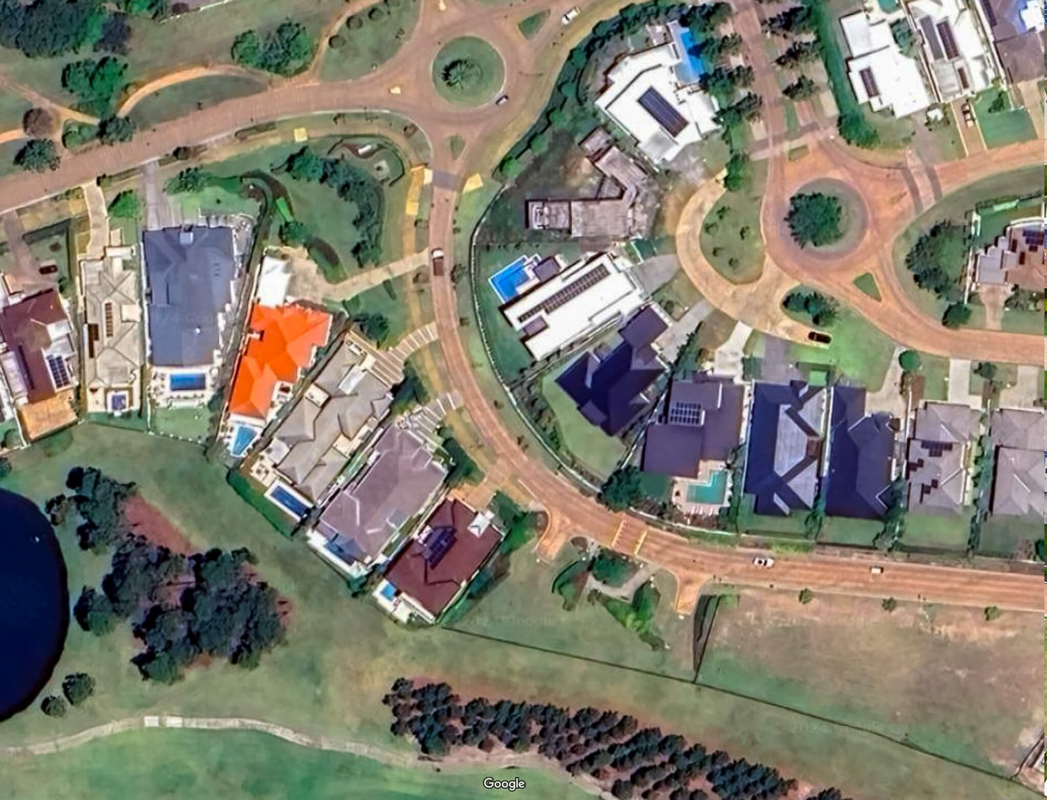
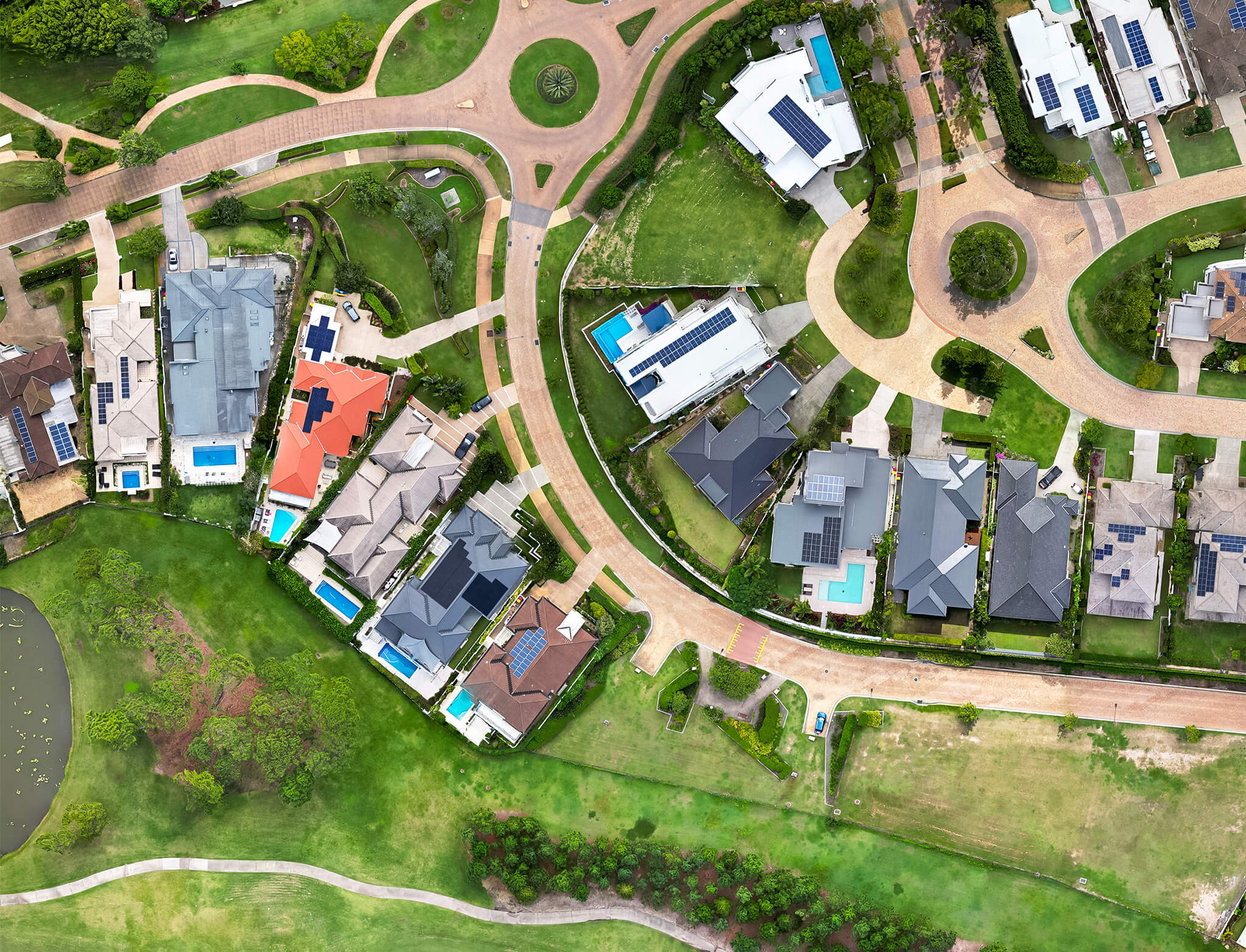
One of the most significant benefits of drone aerial mapping is the high-quality imaging it provides. Drones equipped with high-resolution cameras can capture detailed images of the property, allowing developers to analyze every aspect of the site with precision.
Real-Time Data Acquisition
Drone aerial mapping provides real-time data acquisition, allowing developers to access up-to-date information instantly. This real-time data is crucial in property development, as it enables developers to make informed decisions promptly, leading to more efficient project management.
Environmental Impact
Drone aerial mapping has a minimal environmental impact compared to traditional aircraft mapping. Drones produce fewer emissions and noise pollution, making them an environmentally friendly option for property development projects.
Safety
Safety is a paramount concern in property development. Drone aerial mapping significantly reduces the safety risks associated with traditional methods such as aircraft mapping. With drones, developers can conduct surveys and inspections without putting personnel at risk, enhancing overall safety on the job site.
Applications of Drone Aerial Mapping in Property Development

Site Selection
Drone aerial mapping is instrumental in site selection for property development projects. By providing detailed topographic maps and 3D models, drones help developers identify the most suitable locations for their projects based on factors such as terrain, accessibility, and environmental impact.
Planning and Design
In the planning and design phase, drone aerial mapping enables developers to create accurate models and simulations of the property. This allows for more precise planning and design, resulting in better-informed decisions and more efficient project execution.
Construction Monitoring
During the construction phase, drone aerial mapping plays a crucial role in monitoring progress and identifying potential issues. Drones can conduct regular inspections and surveys, providing developers with real-time data to ensure that the project stays on track and within budget.
Marketing and Sales
Drone aerial mapping is also invaluable in marketing and sales efforts for property development projects. High-quality aerial imagery and 3D models showcase the property in the best possible light, attracting potential buyers and investors.
Future of Drone Aerial Mapping
Technological Advancements
The future of drone aerial mapping looks promising, with ongoing technological advancements driving innovation in the industry. Improvements in drone capabilities, such as longer flight times and higher-resolution cameras, will further enhance the effectiveness of drone aerial mapping in property development.
Integration with AI and Machine Learning
Integration with artificial intelligence (AI) and machine learning (ML) is another area of development for drone aerial mapping. By leveraging AI and ML algorithms, developers can automate data analysis and decision-making processes, making property development more efficient and cost-effective.
Conclusion
In conclusion, drone aerial mapping offers numerous advantages over traditional methods such as aircraft and satellite mapping for property development. With its cost-effectiveness, flexibility, precision, and detail, drone aerial mapping has become an indispensable tool for developers. By embracing drone aerial mapping, developers can streamline the property development process, reduce costs, and ultimately, achieve greater success in their projects.
FAQs
1. Is drone aerial mapping legal for property development purposes?
Yes, drone aerial mapping is legal for property development purposes, but developers must ensure compliance with local laws and regulations regarding drone usage.
2. How accurate is drone aerial mapping?
Drone aerial mapping provides highly accurate data, with precision and detail that far surpasses traditional methods such as aircraft and satellite mapping.
3. What are the environmental benefits of using drone aerial mapping?
Drone aerial mapping has a minimal environmental impact compared to traditional methods, as drones produce fewer emissions and noise pollution.
4. How can drone aerial mapping improve construction monitoring?
Drone aerial mapping provides real-time data acquisition, allowing developers to monitor progress and identify potential issues promptly, ensuring that the project stays on track and within budget.
5. What is the future of drone aerial mapping in property development?
The future of drone aerial mapping looks promising, with ongoing technological advancements and integration with AI and machine learning driving innovation in the industry.